Federal maps underestimate flood risk for tens of millions of people, scientists warn
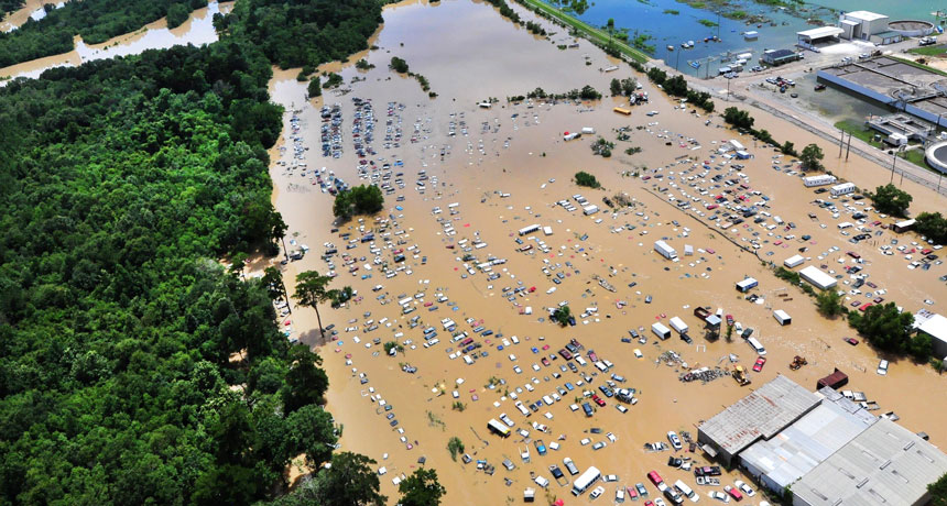
NEW ORLEANS — National flood maps are underestimating the risk for tens of millions of people in the United States. That’s the conclusion of researchers presenting a new study December 11 at the American Geophysical Union’s fall meeting.
The U.S. Federal Emergency Management Agency estimates that about 13 million people live in a “1-in-100-year” floodplain zone, a region that has a 1 percent chance of flooding in any given year. But the agency’s risk assessment largely focuses on larger streams and rivers, and lacks assessments of risk along smaller tributaries. FEMA’s calculations “miss a lot of the risk,” says Oliver Wing, a geographer at the University of Bristol in England.
Wing and his colleagues amassed a wealth of data, including the U.S. Geological Survey’s river gauge data, lidar measurements of land-surface elevation, rainfall data from the National Oceanic and Atmospheric Administration, and population density maps from the Environmental Protection Agency. By combining these data, the researchers found that about 40 million people in the United States live in 1-in-100-year risk zones, three times as many people as FEMA’s estimate. A paper based on this work is in review at Environmental Research Letters.
Based on estimated future land development in the country, the number of people in a 1-in-100-year floodplain zone will climb to 60 million by 2050, and to 75 million by 2100, the team reported. But those figures account only for development in areas currently at risk, Wing says. As the planet continues to warm, rainfall patterns around the globe will shift — and some parts of the United States will see their flood risks rise.